Boundary Delineation of State Forests - Murree Forest Division
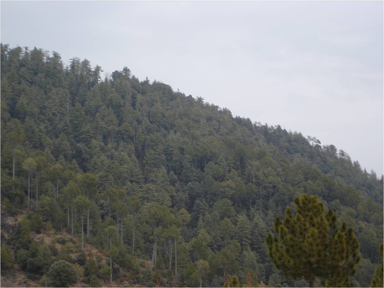
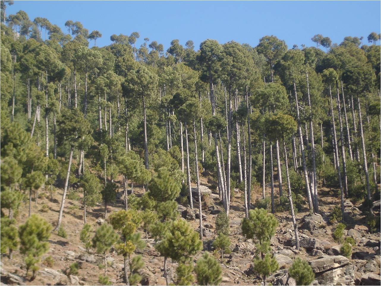
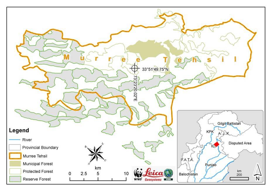 Murree (Geographically centered 73º 23 20 East and 33º 51 50) is located along the Islamabad-Kohala highway, 30km northeast of Islamabad. Murree is a popular hill station and a summer resort. It is the administrative centre of Murree Tehsil, which is a sub-division of Rawalpindi District. According to the Punjab Forest Department, Murree Forest Division (MFD) comprises of 47,285 acres of forest land. Murree being part of the outer Himalayas belongs to sub-tropical continental highlands. Its position can also be referred on boundary of two ecological zones i.e. Moist Temperate Coniferous Forests (Blue pine or Kail zone) and the Chir Pine Subtropical Forests (Chir zone). (T. J. Roberts, 1992). The Murree Forest Division is part of the Western Himalayan Ecoregion that is recognized as one of the Global 200 Ecoregions of the World. Referred to as G200 this classification is a ranking of the worlds most ecological by significant areas.
Click here to compare temporal Google Earth Images of selected areas of Murree Forest
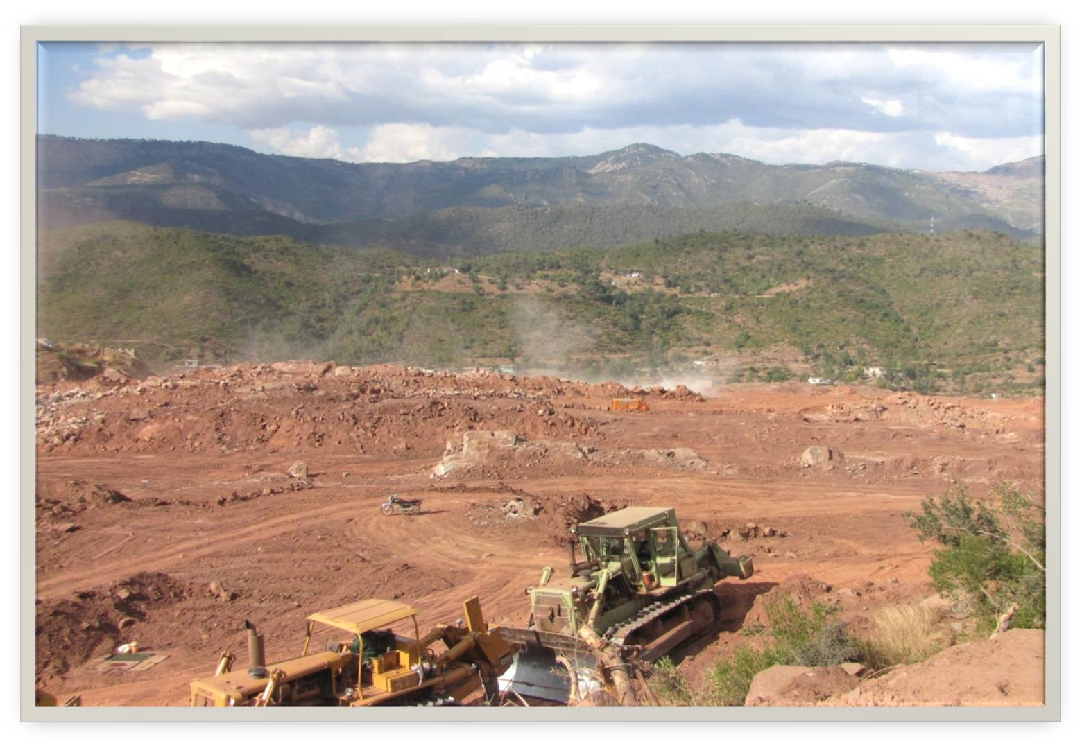
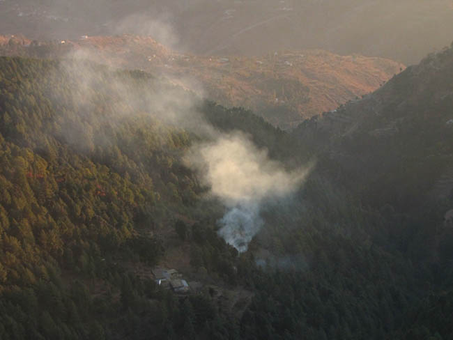
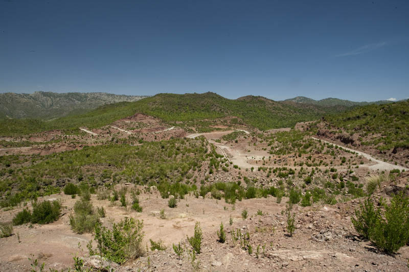
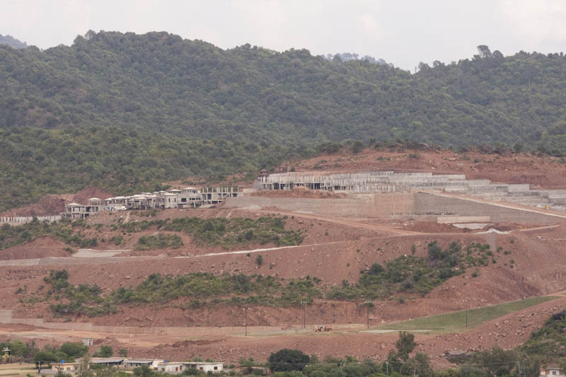
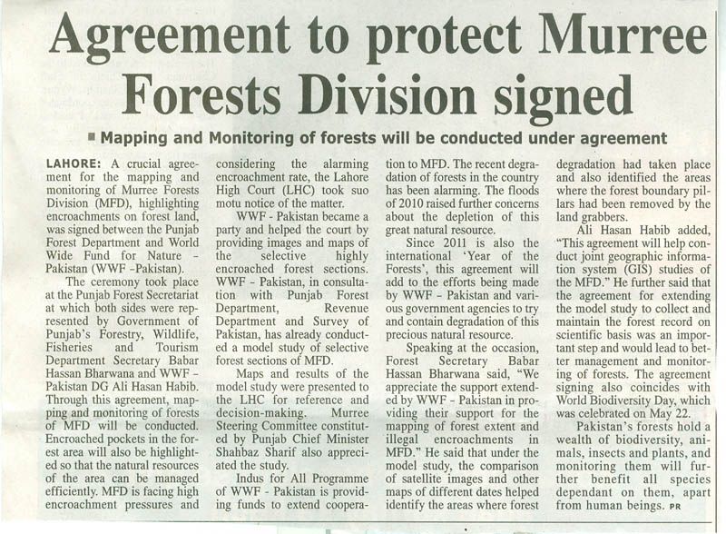
Over the past years, land owners and other housing activities have encroached the adjoining the forest land cumulatively about 12,148 kanals (1,519 acres). Considering alarming encroachment and deforestation, the Lahore High Court (LHC) took a Suo Moto notice on 27th of January, 2010 (Writ Petition No. 1813-2010). WWF – Pakistan along with major stakeholders is providing Geographic Information System (GIS) support to the Court by providing maps of legal forest boundary extent and pillars. In this regard, an agreement for the mapping and monitoring of Murree Forests Division (MFD) has been signed between the Punjab Forest Department (PFD) and WWF – Pakistan.
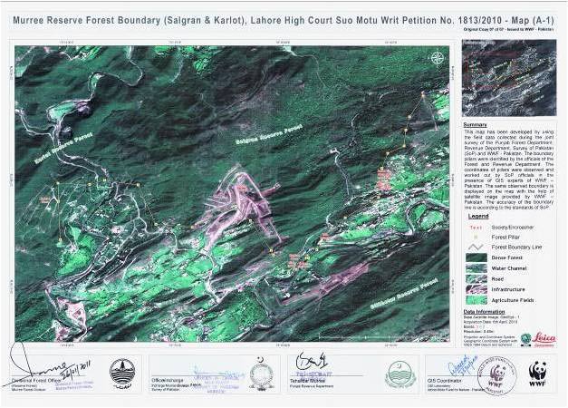 WWF – Pakistan, in consultation with Punjab Forest Department, Revenue Department and Survey of Pakistan, has already conducted a model study of selective forest sections of MFD. Maps developed under the study, highlighted immense land encroachment and forest degradation in Murree tehsil. Maps and results of the model study have been presented to the LHC for reference and decision-making.
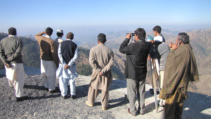
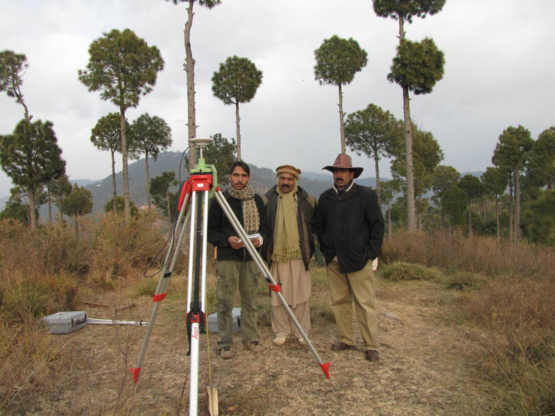
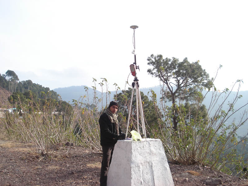
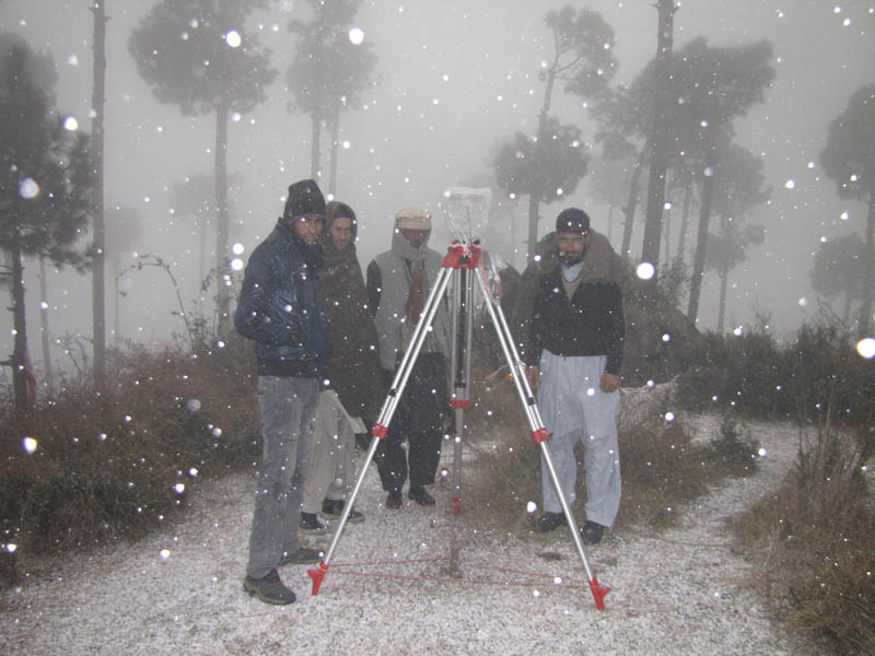
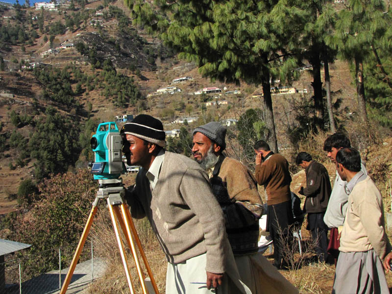
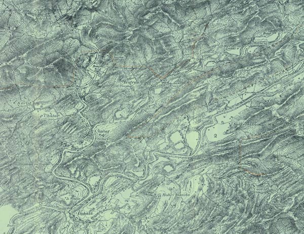
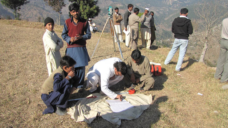
Currently, the four aligned departments are extending the model study to the forests of Murree. The boundary delineation process is being carried out using high accuracy location devices such as Differential Global Positioning System (DGPS) and Total Stations. The activity is being monitored by the members of Project Monitoring Committee (PMC) that comprises of official from District Government, Punjab Forest Department, Survey of Pakistan and WWF - Pakistan. The finalized maps (signed documents) will contain information about boundary line and pillars presented on high resolution satellite image (46cm) at a specific scale.