Building capacity in Conservation GIS
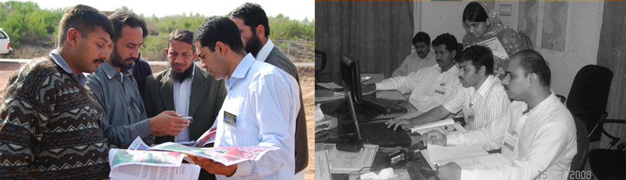 GIS datasets and studies can only be useful if they are well understood by the professional engaged in conservation and natural resource management. To promote understanding and use of these tools and techniques GIS Laboratory is extensively engaged conducting trainings and improving infrastructure of conservation institutions in Pakistan. As part of its capacity building activities the laboratory conduct regular trainings and supported establishing GIS Laboratory at National Council for Conservation of Wildlife (NCCW), Ministry of Environment, Pakistan under the Pakistan Wetlands Programme.
Objective of the trainings is to prepare the participants in using GIS, GPS and Remote Sensing, with specific perspective to conserve wildlife and their habitats, through formal lectures, hands-on sessions and field exercises. Considering the background of the participants, the suitable course is structured for the maximum benefit of the trainees. Adequate emphasis is given to computer aided techniques of data generation, data management, and data analysis.