|
Pakistan Wetlands Programme is in process of establishing national level GIS-based Wetlands Inventory (PWGIS) to map the extent and characteristics of the wetlands. The inventory will serve multiple scientific, academic and awareness purposes. Advance level GIS Laboratory has been setup in the office of the MoE’s NCCW and the inventory will be centrally accessible from this Laboratory. A subset of the PWGIS will also be deployed at all six provincial and territorial government conservation agencies. Capacity building of these conservation agencies in using GIS in their decision making is one of the key pillars in successful deployment of Pakistan Wetlands GIS at grassroots level.
As part of Pakistan Wetlands Programme’s capacity building component, NCCW GIS Laboratory organized two consecutive training workshops to enhance the capacity of stakeholders and partner organizations in using GIS and Remote Sensing their filed work and decision making. 1st trainings
|
workshop was on “Principles and Applications of Conservation GIS” at NCCW-GIS Laboratory, Islamabad held during 25th to 29th February, 2008 and 2nd training workshop was on "Geo-Informatics and Earth Observation Applications for Assessment of Natural Resources/Land Cover Dynamics in Protected Areas" held during 4th to 25th April 2008. The 2nd training was organized in collaboration with ICIMOD-Nepal.
|
The objective of the training was to train the participants in using GIS, GPS and Remote Sensing, with specific perspective to conserve wildlife and their habitats, through formal lectures, hands-on sessions and field exercise. Considering the background of the participants, the suitable course was structured for the maximum benefit of the trainees. Adequate emphasis was given to computer aided techniques of data generation, data management, and data analysis.
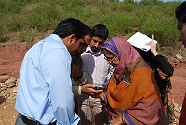
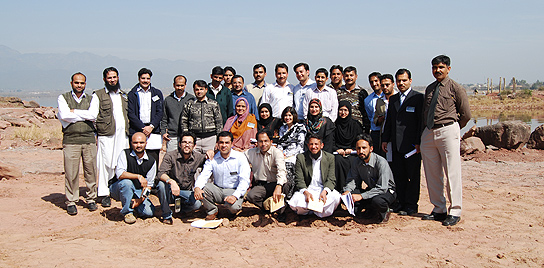
Each stakeholder conservation organization was requested to nominate the candidates who are involved in field based conservation activities and have basic mapping concepts, and working knowledge of computers. Altogether 23 participants representing all the provinces and territories including Sindh Wildlife Department, Sindh Forest Department, Northern Areas Forest Department, AJK Wildlife Department, Punjab Wildlife Department, NWFP Wildlife Department, NWFP Forest Management Centre, IUCN-Islamabad, WWF-P and Pakistan Wetlands Programme attended the training.
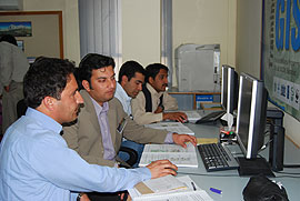
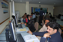
The major topics covered during the five days training include Scope and activities of Pakistan Wetlands GIS , Basic concepts of GIS, Spatial data acquisition and management, Introduction to GPS, Overview of wetlands classification system, Introduction to Remotse Sensing and its applications in conservation , Digital image processing and forest mapping. The after noon sessions of the training were specific for hands-on exercises mentored by five GIS/RS professional from WWF-Pakistan, Pakistan Wetlands Programme and University of the Punjab University. The training proved to be very useful and it is desirable to continue the capacity building in this area. The participants also include three GIS focal persons from provincial departments who can further impart this training to the local professionals and will have better impact to produce higher number of trained personnel.